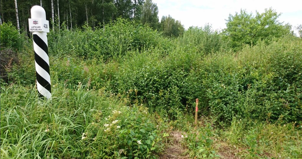
Geodetic base plans for the principal design documentation of the Rail Baltic route
Geodetic base plans were prepared with 3D models of the ground, these being necessary source materials for the preparation of the principal design project for the future railway line.
Aerial surveys were performed first and later terrestrial control measurements for ditches and roads. The width of the measured clearance corridor was 150 metres and the length of the route was over 200 km.
A special feature of the work was the management of large volumes of measurement data and the combination of tachymetric surveying with aerial photographs and lidar data.

